Satellite Tracking Has Changed The Way We Hunt
Nov 20, 2022
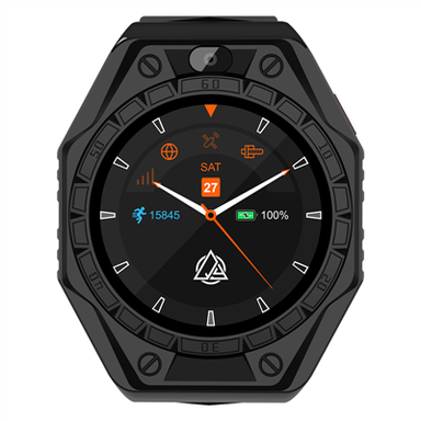
Satellite tracking has changed the way we hunt and keep up with our dogs
Tracking our hunting dogs has come a long way since trailing hounds through the English countryside on horseback. While those times may create a rich history of dog hunting, there is a more modern, and technical, way of monitoring the hunt. GPS (global positioning system) has been introduced to sporting breeds only recently, however, this technology is not new us. When John F. Kennedy announced a “space race” he put a mechanism in motion to create a navigation system that would eventually replace the map and compass. In the early 70’s the US Department of Defense developed this system that is now integrated into even the cell phones in our pockets. By placing the power of GPS in our handheld devices we can now transfer that ability to tracking our hunts with the utmost precision and accuracy.
How it works
GPS is simple. A receiver on the ground, or in your hand, collects signals from multiple satellites and triangulates your position on a map. It basically says, “You are here.” Your position is displayed in Latitude and Longitude, the same grid system use by Christopher Columbus when he crossed the Atlantic in 1492. Using GPS is simple, understanding lat and long is not so simple. For example, your receiver may read something like N 34° - W 77°, meaning 34 degrees north of the equator and 77 degrees west of the prime meridian. Lat and long can be expressed in decimal degree format, such as 34.5489°, decimal minutes displayed as 34° 31.22’, or in degrees minutes and seconds written as 34° 31’ 41”. Minutes and seconds are obviously in units of 60, however this has nothing to do with time. Most receivers can be set up in whichever unit format you prefer. When setting up your receiver you should also want to ensure you are using the same “datum” as those you are sharing information with since the world can’t agree on where exactly the equator and prime meridian is exactly on the ground. Common datum’s used in the US are NAD27 CONUS or WGS84.
Obviously plotting lat and long coordinates can get complicated and thankfully we have additional tools now for locating position. Geo-referenced maps and aerial photography can now be overlaid on many devices to create an interactive map to follow. Spending time to understand and read these types of map products are necessary but not at all difficult. If you have spent any time on Google Earth for example, you have studied geo-reference aerial photography. These are the same types of products either preloaded or available to add to most GPS dog tracking systems.